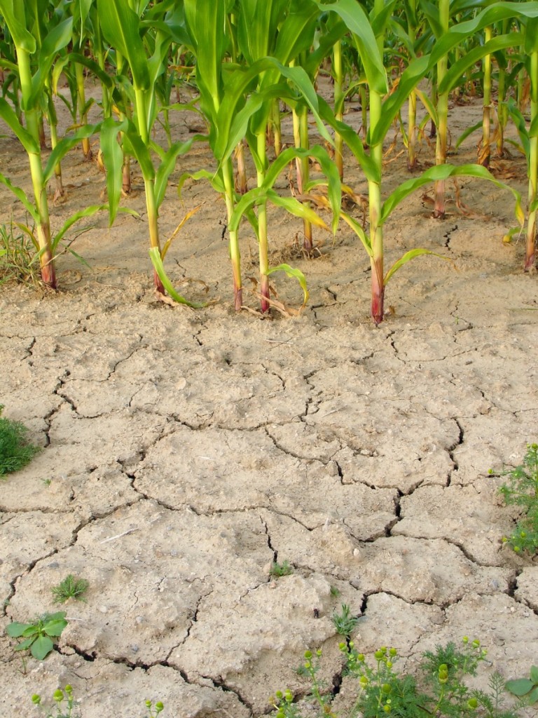
The summer of 2015 is showing signs of being a hot and wet season for the western parts of the United States, and the midwest should be normal in temperatures, with frequent rain. The pattern is being setup by an el Nino in the pacific. This pattern is not a regular occurrence, but recently, the US has been seeing this trend more frequently. The winter of 1997 was a El Nino season, as well as the season of 2002, 2005, and 2009. After such an event, the temperature in the middle of the US is often warmer and dryer in the coming 9 months that it takes for the El Nino to slow and depart.
With an ongoing pattern of hot and cool water in the pacific, we should be expecting rain in the dry parts of the western US, and normal temperatures in the mid west. Frequent rain, with cloud cover, should keep the midwest cool, and benefit the eastern parts of the United States with very pleasant conditions. Unfortunately, parts of the west, including all the way up to the Canadian border will see high humidity, high temperatures, and frequent squalls that are pushed along a low jet stream. This could intensify into the pan handle of the United States, with troubling thunderstorm activity and tornadoes.
Hail, high winds and Sunny Skies
With the volatile jet stream and the el Nino presenting itself in the Pacific, we are in for the late season thunderstorms, and cloud to cloud thunderstorms. There are many reasons to ensure that you have battery backup, and a backup of surge protection in your home. The lighting in the midwest this summer has been consistent with the humidity experienced, all at dew points of 65 or more. Looking forward to end of summer, beginning of fall, we should continue to see this wet and humid pattern, with the coolness continuing. So far, there have been only 2 days close to 90 degrees in Minneapolis, which usually experiences a brief but standard period of 90 degree weather. The cool summer has been unusual, but is definitely consistent with the el Nino pattern.
Cool fronts next to warm fronts have yielded multiple hail events, which have created some damage throughout the midwest. The dates of storms are June 20, June 27, June 28th, July 6th, July 12-13th, July 16, July 18, July 24, July 28, and August 4th. The rain has been enough to keep most watering activities low, and tree damage experienced was on the heavier storms of July 6th, and July 12-13th. With these frequent storms, humidity was high before the storms, and quieter afterwards. The resulting bee activity in the area was higher than normal, as well as spiders, ants of all shapes and sizes, and many flying insects. Pest were seen at higher incidents after rain events.
Continuation of High and Low Pressure
A spike of high temperatures occurred in the areas of the west coast early in the summer, with this slip of higher temperatures moving to the southwest, southern plain, into the middle parts of the Midwest, and the eastern parts of the Florida and Georgia panhandle. Typical high and low pressure centers created variety of hail, tornadoes, and straight line winds upwards of 50-65 mph, in these areas.
Easing into the end of the summer, this pattern is expected to migrate to the east coast, with the west picking up some winds, which will fuel some very dangerous fire conditions. So far, the warmest weather has been seen at the beginning of fall or autumn, vs in the height of summer. This will not continue into winter, however, the El Nino we are seeing, will effectively block our ability to see a cold winter in northern plains.

