Winter of 2013 was quickly replaced by the spring of 2013 but with little change of temperature, and a continuation of snow and freezing precipitation. The continuation of cooler temperatures throughout the country has resulted in better precipitation, and the fulfillment of drought busting results.
With Spring of 2013 Resulted in Increased Precipitation
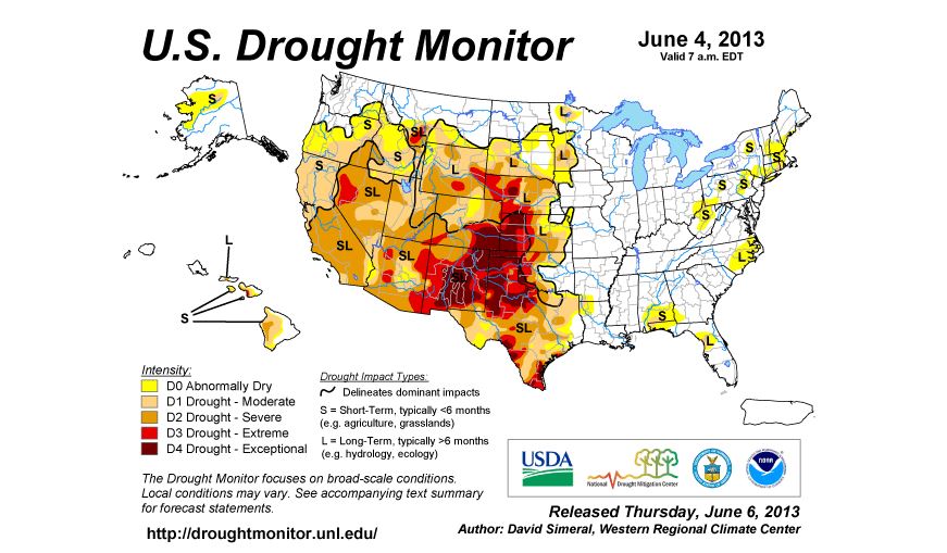
With the increase of cooler temperatures, the drought that built and stayed constant throughout the middle of the winter of 2013, lost ground and withered to a halt with the spring of 2013. The country that was drought stricken to the point of foundational cracks in homes and buildings across Missouri and St. Louis found that they were no longer in a drought. Areas along the Mississippi gained back lost precipitation, and did not see too much flooding as well.
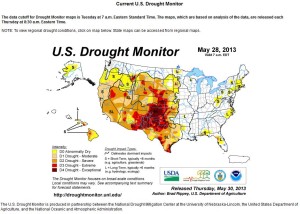
The newest drought monitor window from June 4th of 2013, is showing even stronger improvement from May 28, 2013.
Spring of 2013 Precipitation
The winter of 2013 yielded to a cool, and very constant precipitation pattern for the northern plains, and the east coast of the United States. New tropical weather created a pattern of wet and mild temperatures, with constant snows until the end of April. With this pattern, the west and south saw less precipitation, and strong storms. The F5 in Moore Oklahoma was a result of this cool wet pattern, with the collision of hot and moist storm patterns.
Spring of 2013 Results in Slow Planting in the Midwest
Compared to the spring of 2012, the spring of 2013 did not see an early planting in the fields in the midwest, and nor did they find the crops 100% planted at this time. All fields will see a sharp decrease in yields until later in the season, as the weather is still very cool, with frost showing in parts of Minnesota, Wisconsin and North Dakota. The spring of 2013 has yet to grow into the summer of 2013 in the middle parts of the country.


